To meet the increasing need for data visualization and spatial analysis professionals across industries, The University of Toledo is leveraging its expertise, experience, resources and outstanding faculty to introduce a new undergraduate geospatial science degree.
The unique bachelor of science degree program is the first of its kind in the region, pushing beyond traditional geography and geographic information science curricula to integrate both theoretical foundations and practical applications of technologies like artificial intelligence, digital cartography, remote sensing and geographic information systems.
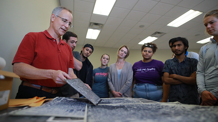
UToledo is leveraging its expertise, experience, resources and outstanding faculty to introduce a new undergraduate geospatial science degree.
“New technologies are rapidly changing how we gather and interpret information,” said Dr. Scott Molitor, interim provost and executive vice president for academic affairs at UToledo. “This innovative degree program will prepare students to engage with cutting-edge tools and interpret the wealth of data they produce to be successful in high-demand careers.”
The U.S. Bureau of Labor Statistics projects that demand for geospatial analysts like cartographers and photogrammetrists will grow faster than the average for all occupations over the next decade. Career opportunities span a variety of industries with applications in logistics, market research and supply chain management as well as government agencies including the U.S. Census Bureau and Internal Revenue Service.
UToledo is uniquely positioned to offer a high-quality undergraduate geospatial science degree, with expert faculty and state-of-the-art computer laboratories supporting long-standing undergraduate and graduate programs in geography as well as a competitive doctoral program in Spatially Integrated Social Sciences that remains one of the only programs of its kind to apply geospatial technologies to the study of human and social dynamics.
The new degree program will be housed in the Department of Geography and Planning in new Judith Herb College of Arts, Social Sciences and Education. It will incorporate existing course offerings taught by faculty with extensive experience and expertise in preparing students for professional careers after graduation while introducing new opportunities for internships and undergraduate research and offering new advanced courses incorporating programming, artificial intelligence and machine learning.
“Artificial intelligence and machine learning are transforming the industries our students will enter upon graduation,” said Dr. Patrick Lawrence, professor and chair of the Department of Geography and Planning. “This new geospatial degree program at the bachelor’s level demonstrates UToledo’s commitment to preparing our graduate to adeptly leverage the tools they’ll need to stand out and succeed in exciting and growing professions.”
The UToledo Board of Trustees approved the geospatial science program on Wednesday, June 25. Pending approval from Ohio Department of Higher Education’s Office of Program Development and Approval, the program will be offered beginning Fall 2026.